Stonex Reconstructor 3D Software
Stonex Reconstructor 3D Software - Survey is backordered and will ship as soon as it is back in stock.
Delivery and Shipping
Delivery and Shipping
Your order will be carefully processed and shipped as soon as possible. A tracking number will be sent via email and/or text once the shipping label is created. For more details, please view our 60-Day Return Policy.
Speak With An Expert
Speak With An Expert
Why Choose Absolute Accuracy
Why Choose Absolute Accuracy
Since 2008, we’ve been helping pros across Los Angeles get the right gear for the job. Our team’s got your back with certified, calibrated surveying and construction equipment you can count on. We offer quick shipping, solid support, and great prices on top brands. Shop with confidence. Everything we sell is tested, reliable, and ready to perform.
All Instruments Will Ship Calibrated
Certification Provided For Optical & Lasers
Description
Description
Tutorial Videos on Stonex Reconstructor
PDF Manual
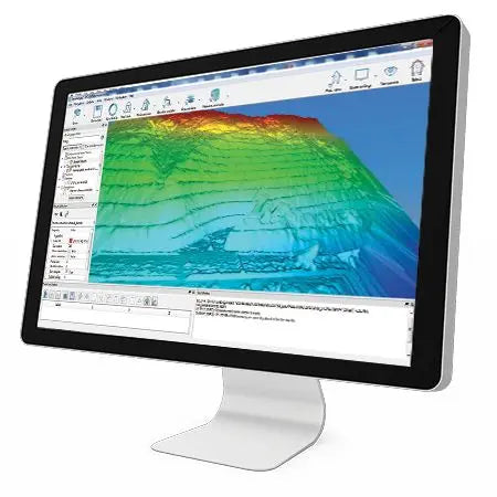
Stonex Reconstructor is a comprehensive 3D point cloud software solution designed to process and align data from laser scanners, photogrammetry, and other sensors. With a user-friendly interface and powerful modules, Reconstructor delivers complete workflows tailored for land surveyors, engineers, construction professionals, and mining operators.
Key Features:
- Perpetual License
- Point Cloud Alignment
- Mesh & DTM Generation
- Orthophoto (standard & X-ray)
- CAD Export (2D and 3D layers)
- UAV Integration
- Planarity and Verticality Analysis
- Survey-to-Design Comparison
Choose from three specialized modules to match your industry needs:
Survey
- Ideal for managing laser scan data in the field or office
- Features include point cloud registration, filtering, and color adjustment
- Includes tools for creating sections, contours, and mesh visualizations
- Export to CAD or BIM environments for seamless project collaboration
Construction
- Built for professionals working in architecture, BIM, and structural layouts
- Offers planarity analysis, mesh/DTM generation, and 3D model comparison
- Supports advanced point cloud filtering and orthophoto creation
- Ideal for floor plans, facade documentation, and verticality inspection
Mining
- Purpose-built for quarries, excavation, cut-and-fill volume analysis, and DTM mapping
- Allows users to compute precise surface models and manage large datasets efficiently
- Generate profiles and cross-sections to guide excavation and site planning
Whether you're generating high-resolution maps, managing quarry production, or capturing "as-built" conditions, Reconstructor helps deliver accurate, professional results every time.
Payment & Security
Payment methods
Your payment information is processed securely. We do not store credit card details nor have access to your credit card information.
