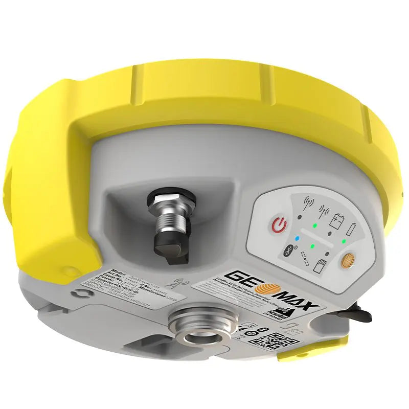
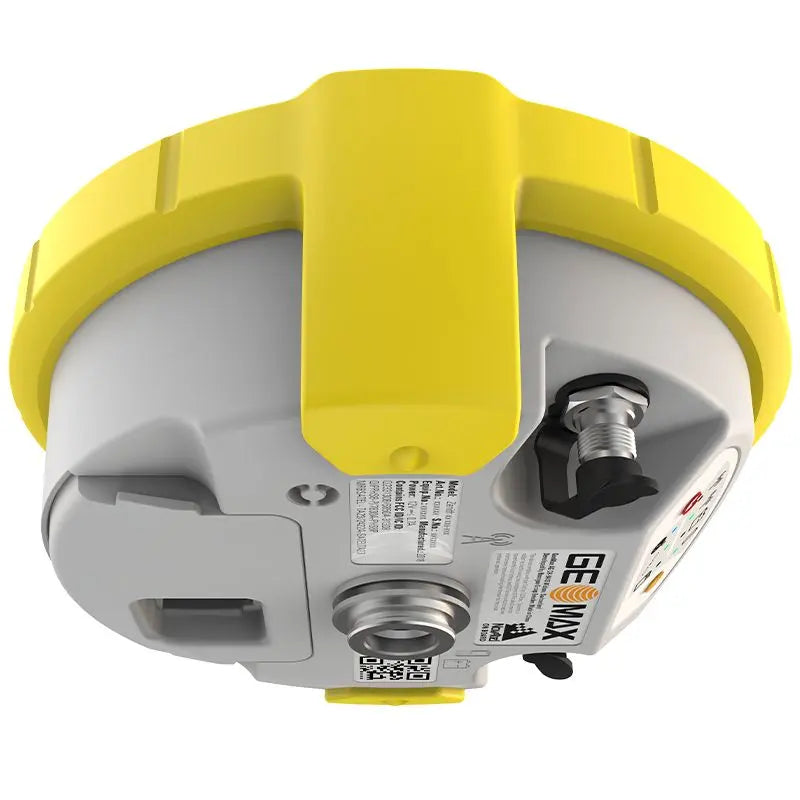
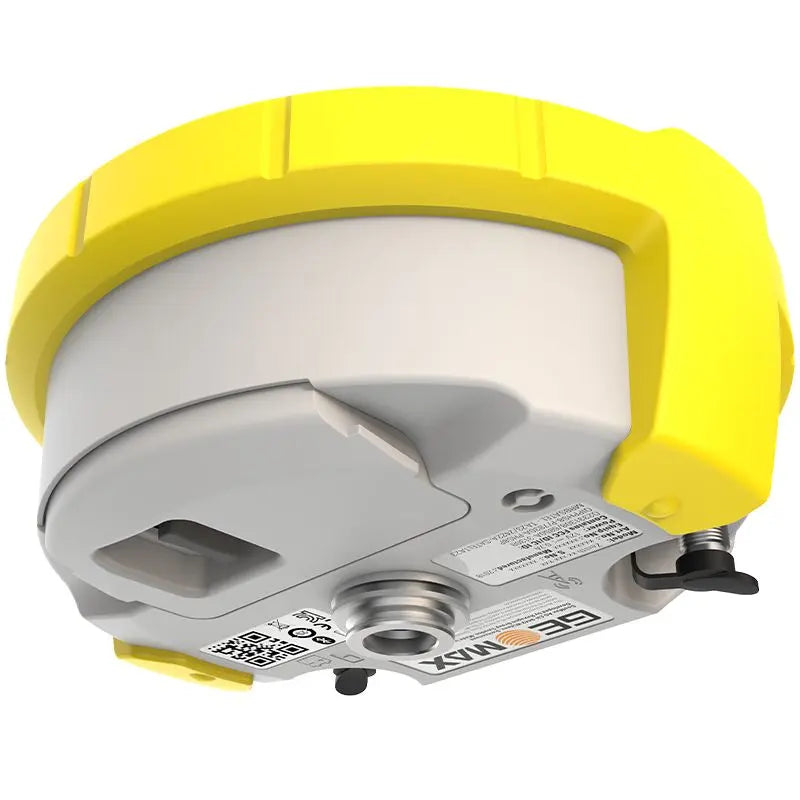
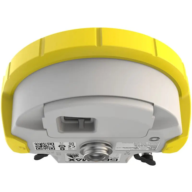
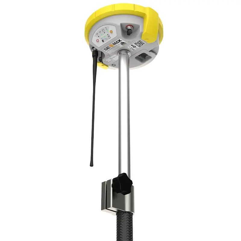
GeoMax Zenith16 GNSS Recevier, UHF Activated
GeoMax Zenith16 GNSS Recevier, UHF Activated - Rover Kit / None is backordered and will ship as soon as it is back in stock.
Delivery and Shipping
Delivery and Shipping
Your order will be carefully processed and shipped as soon as possible. A tracking number will be sent via email and/or text once the shipping label is created. For more details, please view our 60-Day Return Policy.
Speak With An Expert
Speak With An Expert
Why Choose Absolute Accuracy
Why Choose Absolute Accuracy
Since 2008, we’ve been helping pros across Los Angeles get the right gear for the job. Our team’s got your back with certified, calibrated surveying and construction equipment you can count on. We offer quick shipping, solid support, and great prices on top brands. Shop with confidence. Everything we sell is tested, reliable, and ready to perform.
All Instruments Will Ship Calibrated
Certification Provided For Optical & Lasers
Description
Description
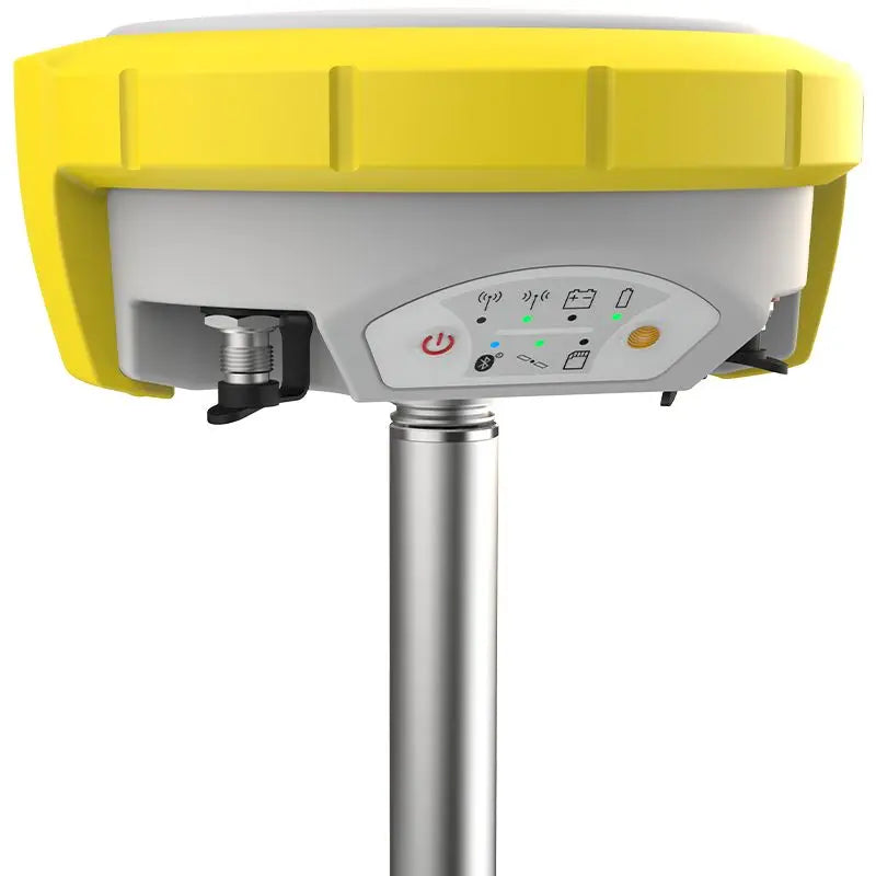
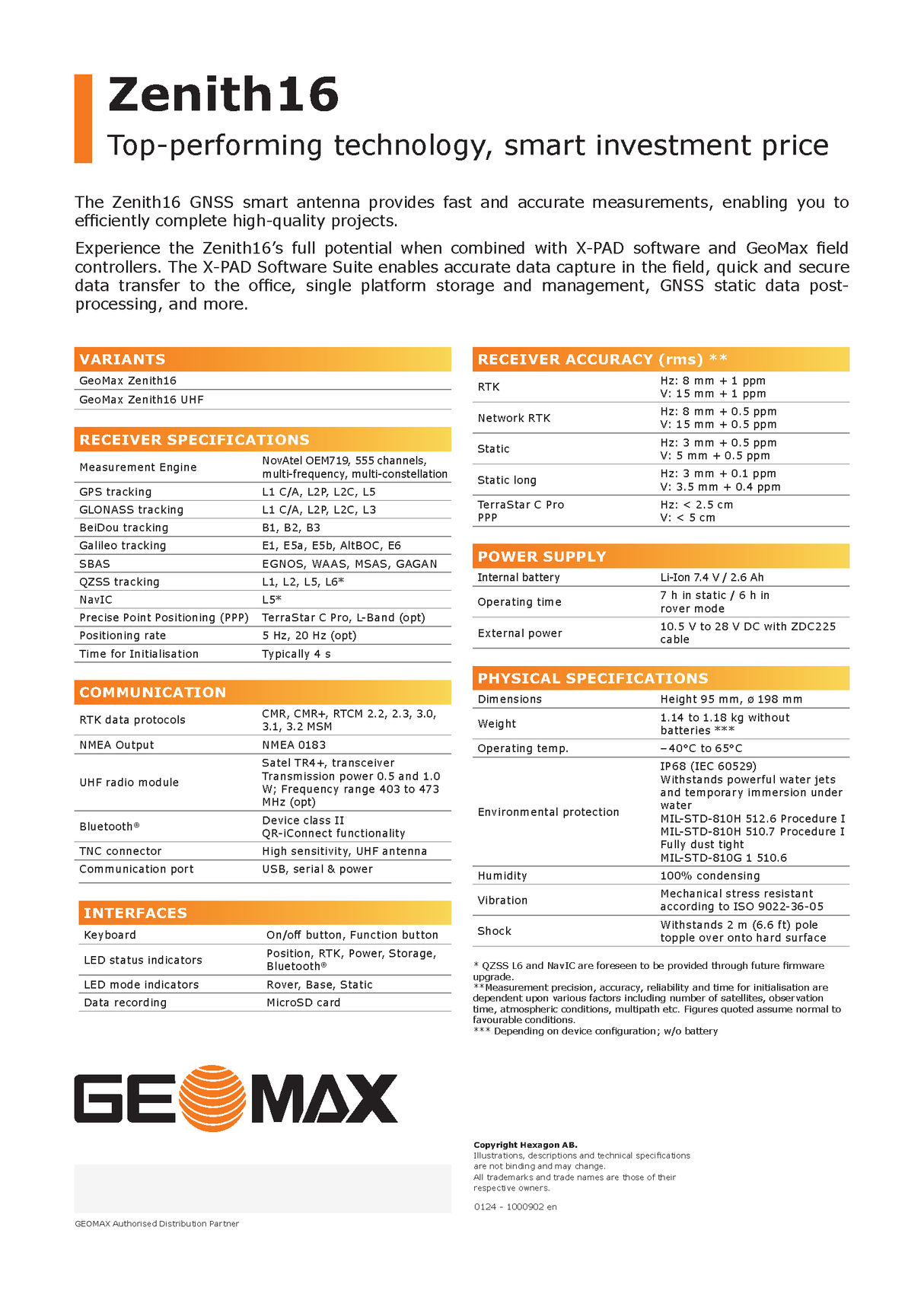
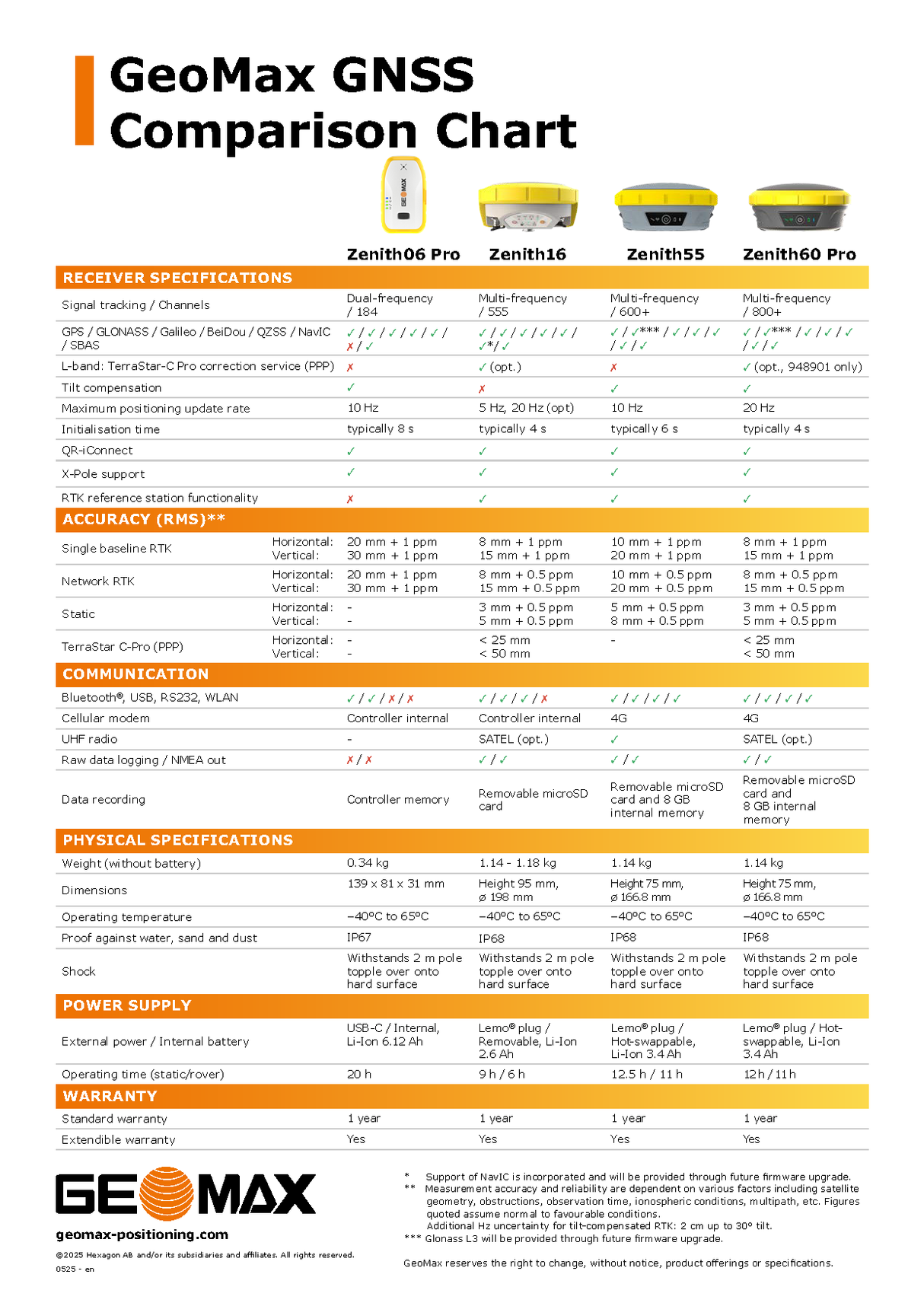
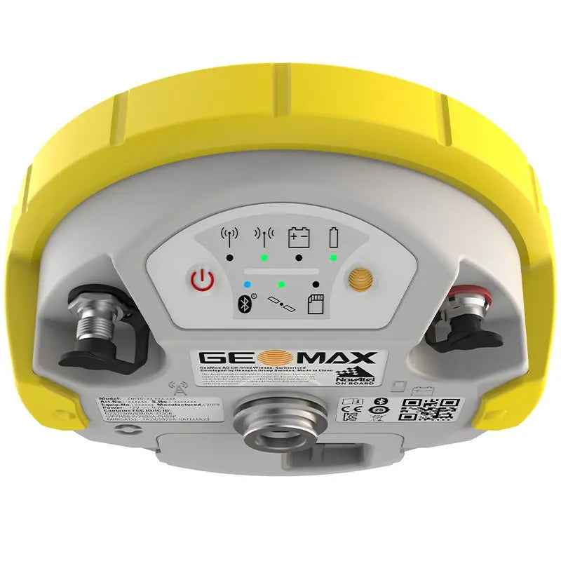
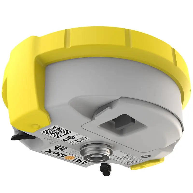
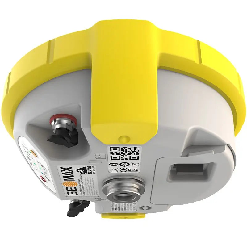
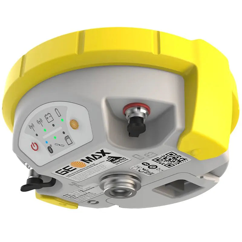
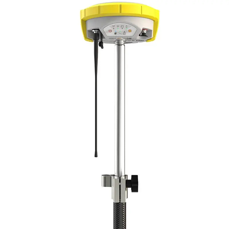
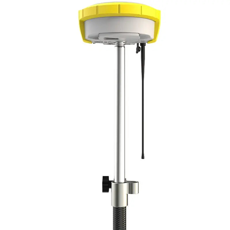
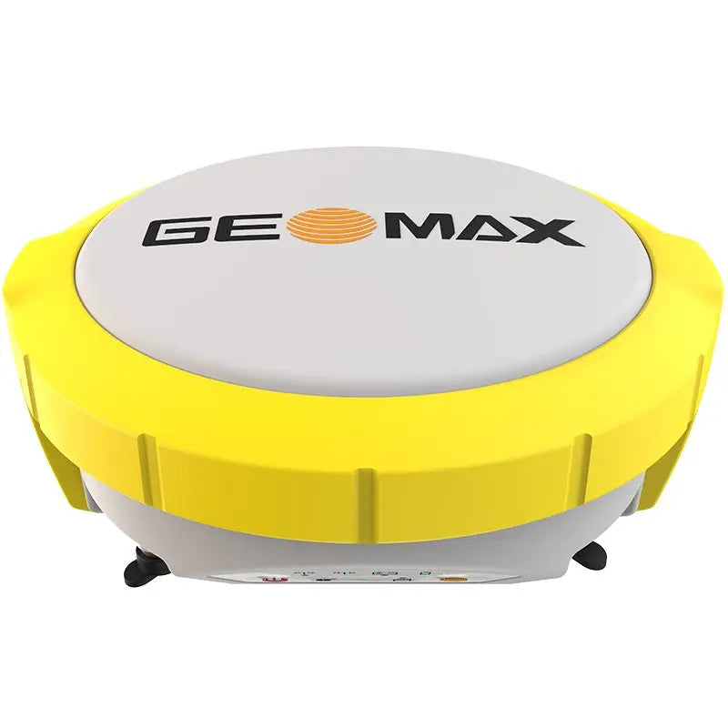
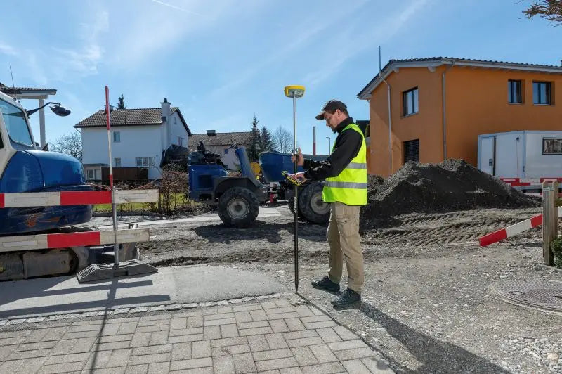
The GeoMax Zenith16 is a high-performance GNSS smart antenna designed to deliver fast, reliable positioning for surveyors, engineers, and construction professionals. Featuring 555-channel multi-constellation tracking powered by NovAtel OEM technology, the Zenith16 supports GPS, GLONASS, Galileo, BeiDou, QZSS, NavIC, and SBAS signals for maximum coverage and reliability in challenging environments.
With RTK accuracy of 8 mm + 1 ppm horizontally and 15 mm + 1 ppm vertically, this receiver ensures consistent and precise results. It offers a 5 Hz update rate (upgradeable to 20 Hz) and PPP capability via TerraStar C Pro, making it an excellent fit for demanding projects.
Built for versatility, the Zenith16 integrates seamlessly with GeoMax X-PAD Ultimate software and Zenith Manager, enabling configuration directly from Windows® or Android™ devices, no field controller required. Its UHF transceiver (403–473 MHz) with Satel TR4+ technology ensures reliable base-to-rover communication, while Bluetooth® and USB connectivity support modern workflows.
Rugged enough for any job site, the Zenith16 features an IP68 rating, withstands 2 m pole drops, and operates in extreme temperatures from –40 °C to 65 °C. A 7-hour operating time on a single Li-ion battery keeps you productive all day.
Key Features
- Multi-constellation tracking: GPS, GLONASS, Galileo, BeiDou, QZSS, NavIC, and SBAS
- RTK precision: 8 mm + 1 ppm horizontal / 15 mm + 1 ppm vertical
- PPP support: TerraStar C Pro for sub-5 cm accuracy worldwide
- UHF radio module: Satel TR4+ transceiver, 403–473 MHz, 0.5–1 W output
- Rugged design: IP68-rated, MIL-STD-810H tested, withstands 2 m drops
- Flexible setup: Configure via GeoMax X-PAD Ultimate or Zenith Manager
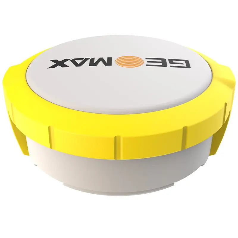
- Compact & lightweight: 1.14 kg and only 95 mm high
What’s Included
Rover Kit:
- 870606 – Zenith16 GNSS, UHF, 5 Hz GNSS Receiver
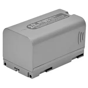
- 819282 – (2) ZBA201 Li-Ion Batteries, 7.4 V / 2600 mAh
- 766872 – ZCH201 Battery Charger
- 733272 – GEV192-1 AC/DC Adapter (US)
- 760259 – ZRA100 Gainflex Radio Antenna, 435–470 MHz
Base & Rover Kit:
- 870606 – (2) Zenith16 GNSS, UHF, 5 Hz GNSS Receiver
- 819282 – (4) ZBA201 Li-Ion Batteries, 7.4 V / 2600 mAh
- 766872 – (2) ZCH201 Battery Charger
- 733272 – (2) GEV192-1 AC/DC Adapter (US)
- 760259 – (2) ZRA100 Gainflex Radio Antenna, 435–470 MHz
- 645616 – ZMT100 Measuring Tape
- 760269 – ZCA100 GNSS Antenna Carrier (w/o plummet)
- 790770 – ZTR103 Tribrach with Optical Plummet
- 832513 – ZPC202 GNSS Base Pole Extension, 25 cm
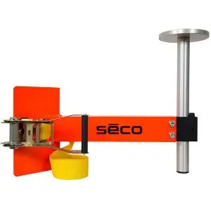
- 867538 – ZHM1 GNSS UHF Antenna Arm & Height Meter
X-PAD Ultimate Survey Software
The GeoMax X-PAD Ultimate Survey Software is a comprehensive field solution tailored for professional surveyors seeking flexibility and efficiency in various surveying tasks. Operating on Android devices, it integrates seamlessly with GeoMax instruments, offering a modular approach to meet diverse project requirements.
GNSS
Designed for surveyors utilizing GNSS receivers, this module provides functionalities for surveying, stakeout, and control tasks, ensuring precise data collection and real-time processing.
Premium
A comprehensive bundle that includes the GNSS and TPS Manual modules, along with the Robotic TPS option, providing a versatile solution for various surveying scenarios.
Super Premium
The most extensive package, encompassing all features of the Premium module plus additional options such as Build Extension, Road, Volume, X-Pole, GIS, BIM, and Locator, catering to complex and specialized surveying needs.
Payment & Security
Payment methods
Your payment information is processed securely. We do not store credit card details nor have access to your credit card information.
