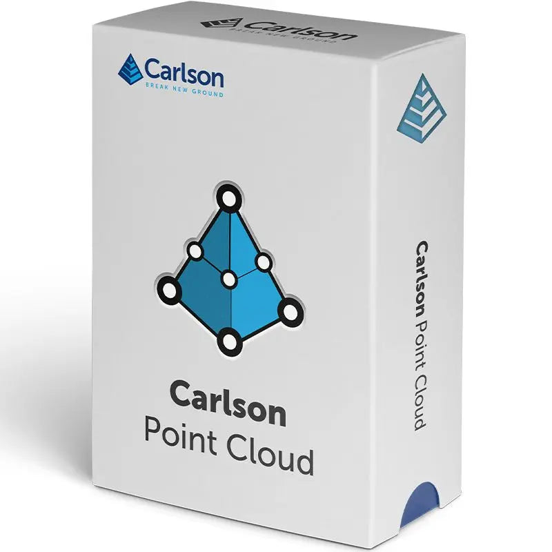
Carlson Point Cloud Software
Carlson Point Cloud Software - Basic is backordered and will ship as soon as it is back in stock.
Delivery and Shipping
Delivery and Shipping
Your order will be carefully processed and shipped as soon as possible. A tracking number will be sent via email and/or text once the shipping label is created. For more details, please view our 60-Day Return Policy.
Speak With An Expert
Speak With An Expert
Why Choose Absolute Accuracy
Why Choose Absolute Accuracy
Since 2008, we’ve been helping pros across Los Angeles get the right gear for the job. Our team’s got your back with certified, calibrated surveying and construction equipment you can count on. We offer quick shipping, solid support, and great prices on top brands. Shop with confidence. Everything we sell is tested, reliable, and ready to perform.
All Instruments Will Ship Calibrated
Certification Provided For Optical & Lasers
Description
Description
Key Features:
- View and process up to 1 billion points with smooth navigation and editing.
- Register and align scans to local coordinates for unified, accurate datasets.
- Filter, decimate, and clean point clouds to remove noise and optimize performance.
- Overlay raster images in 3D for real-world visualization.
- Snap to edges and coded features to automatically create linework and symbols.
- Generate contours, profiles, sections, and breaklines directly from point clouds.
- Export surfaces, points, contours, grids, and breaklines to CAD for design workflows.
- Compatible with major formats, including LAS, E57, Leica, Faro, DEM, and GeoTIFF.
Overview
The Carlson Point Cloud software is designed for professionals who need fast, reliable tools to view, analyze, and extract data from 3D laser scans. Capable of handling massive datasets of up to 1 billion points, it delivers exceptional performance and accuracy for surveying, engineering, and construction applications.
With intuitive tools for cleaning, registration, and modeling, Point Cloud lets you merge multiple scans, align them to coordinates, and visualize terrain with overlaid imagery or color adjustments. You can automatically detect and extract features like poles, trees, hydrants, edges, and slopes to speed up linework creation.
Carlson Point Cloud integrates seamlessly with Carlson Field-to-Finish, allowing you to create symbols, linework, and labels in CAD directly from scan data. Generate 3D surfaces, cross-sections, and profiles, and export them for use in Carlson Civil, Takeoff, or Survey for final design and reporting.
Whether you’re preparing a site model, extracting topographic details, or cleaning complex scan data, Carlson Point Cloud gives you complete control from raw data to finished CAD deliverables, fast, accurate, and easy to use.
Payment & Security
Payment methods
Your payment information is processed securely. We do not store credit card details nor have access to your credit card information.
