Stonex X120GO SLAM Laser Scanner
Stonex X120GO SLAM Laser Scanner - X120GO + Cube-3D Scanner Software is backordered and will ship as soon as it is back in stock.
Delivery and Shipping
Delivery and Shipping
Your order will be carefully processed and shipped as soon as possible. A tracking number will be sent via email and/or text once the shipping label is created. For more details, please view our 60-Day Return Policy.
Speak With An Expert
Speak With An Expert
Why Choose Absolute Accuracy
Why Choose Absolute Accuracy
Since 2008, we’ve been helping pros across Los Angeles get the right gear for the job. Our team’s got your back with certified, calibrated surveying and construction equipment you can count on. We offer quick shipping, solid support, and great prices on top brands. Shop with confidence. Everything we sell is tested, reliable, and ready to perform.
All Instruments Will Ship Calibrated
Certification Provided For Optical & Lasers
Description
Description
Watch all of the tutorial videos
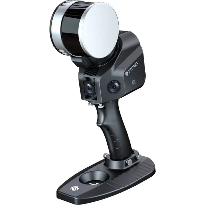
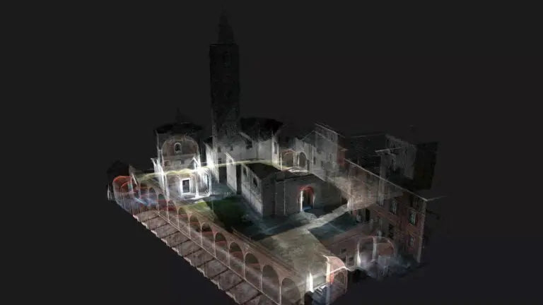
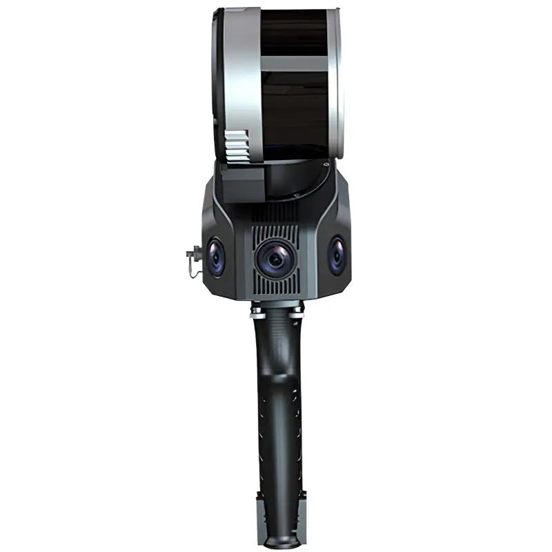
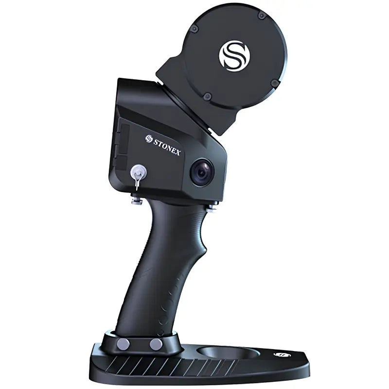
The Stonex X120GO is a high-performance handheld SLAM-based laser scanner designed for fast, real-time 3D mapping across indoor, outdoor, and underground environments. With its 360° rotating LiDAR sensor, the X120GO collects 320,000 points per second with a range of up to 100 meters, generating detailed point clouds without the need for GPS or targets.
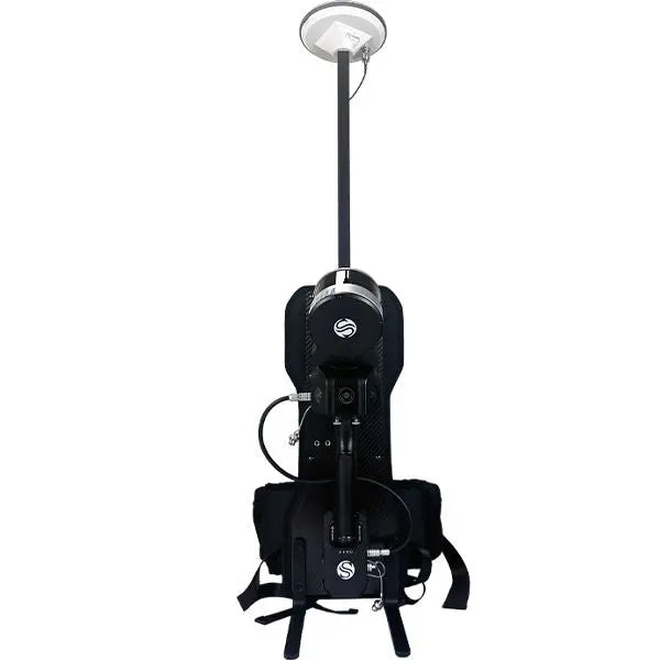
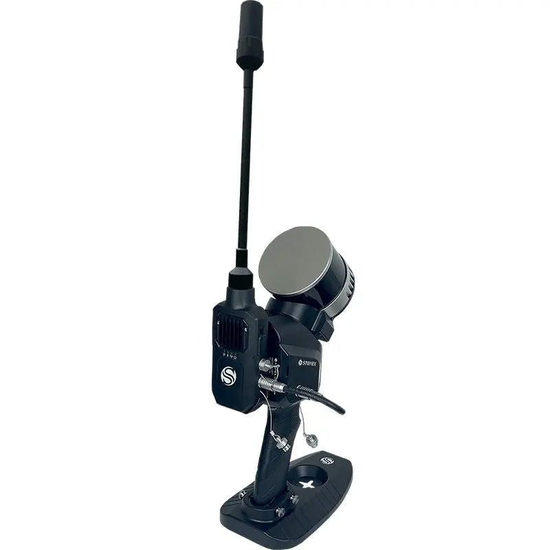
This scanner is designed for surveyors, engineers, architects, and construction professionals who need flexibility, speed, and precision in hard-to-reach areas. It features real-time trajectory visualization, color point cloud generation, and automatic georeferencing when paired with the optional RTK module or GCP base. The tablet holder allows mobile operation, while the optional backpack kit supports large-scale or extended-area scans.
What sets the X120GO apart is its inclusion of Stonex Cube-3D Software, a professional platform for post-processing, modeling, and converting raw scan data into fully usable, CAD-compatible deliverables.
Key Features:
- SLAM-based scanning without GPS
- 100m range with 360° × 270° field of view
- Real-time visual SLAM and color point cloud support
- 320,000 pts/sec capture rate
- Lightweight and portable (1.3 kg)
- Compatible with external GNSS (RTK module)
- Seamless integration with Cube-3D
Cube-3D Software – Complete Scan-to-Model Workflow
Stonex Cube-3D is included with the X120GO and is your all-in-one desktop software for transforming LiDAR data into professional outputs. With Cube-3D, users can:
- Clean and register point clouds
- Generate meshed surfaces and contours
- Perform cross-sections and volume calculations
- Georeference point clouds using RTK or GCP data
- Export models in DXF, PLY, OBJ, and XYZ formats
Whether you're working in construction, infrastructure inspection, BIM modeling, or geospatial documentation, Cube-3D enables a complete and streamlined transition from field data to digital deliverables.
What’s Included with the X120GO:
- Stonex X120GO SLAM Scanner
- Carrying Case
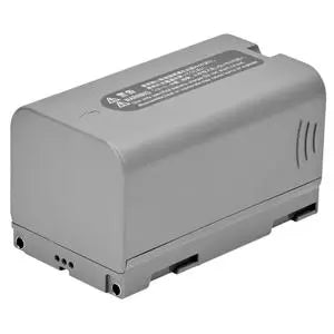
- 4 Rechargeable Batteries (30-350653)
- Smart Battery Charger (EU, US, car plugs – 30-350654)
- GCP Base – Bottom Bracket (30-350655)
- 32 GB MicroSD Card
- USB Stick with SD Reader
- GOapp for Device Operation
- GOpost for Post-Processing
- GOpost Software Dongle (30-350657)
- Calibration Certificate
- Tablet Holder (30-350811)
- Handle (30-350656)
- Cube-3D Photogrammetry & 3D Data Software (40-450580)
- Optional: Backpack Mounting Kit (B30-000001)
- Optional: RTK GNSS Module (30-350671)
Payment & Security
Payment methods
Your payment information is processed securely. We do not store credit card details nor have access to your credit card information.
