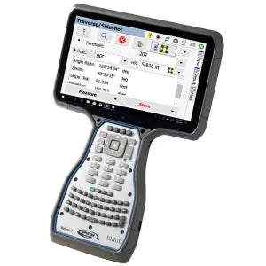
Carlson Point Cloud
Carlson Point Cloud - Basic is backordered. Expect an additional 3-5 days of shipping
Couldn't load pickup availability
Delivery and Shipping
Delivery and Shipping
Your order will be shipped out within 24 hours of purchase
A UPS tracking # will be provided via email and/or text when we create the label
Why Choose Absolute Accuracy
Why Choose Absolute Accuracy
We provide certified, calibrated surveying and construction equipment trusted by professionals. Enjoy fast shipping, expert support, and competitive pricing on industry-leading brands. Shop with confidence, knowing you’re getting high-quality, expertly tested tools backed by our commitment to accuracy.
Speak With an Expert:
(323) 662-9237
info@aaisurvey.com
Monday - Friday 9am-5pm PST

Carlson Point Cloud
All Equipment Will Ship Calibrated
Optical Instruments & Rotating Lasers Come With A Certification
Description
Description
- View and process up to 1 billion points: Carlson Point Cloud can handle even the largest point clouds with ease.
- Register scans to local coordinates: Allows you to combine point clouds from different sources into a single, cohesive dataset.
- Filter or decimate the points: Allows you to reduce the size of your point cloud without losing important data.
- Overlay raster images in 3D: Allows you to visualize your point cloud in the context of real-world features.
- Snap to edges and code descriptions: This allows you to automate the process of creating linework and symbols from your point cloud.
- Create contours, profiles, sections, and breaklines: This allows you to generate 2D and 3D representations of your point cloud.
- Export all surface models, points, contours, breaklines, grid and profiles to CAD:
Carlson Point Cloud is a powerful tool for surveyors, engineers, and other professionals who need to work with point clouds. It is easy to use and offers a wide range of features, making it a valuable asset for any project.
Here are some of the specific features of Carlson Point Cloud:
- Data extraction: You can extract 3D data from point clouds, including poles, trees, and hydrants. You can also extract TINs, contours, profiles, sections, and breaklines.
- Import/export: You can import and export point clouds in a variety of formats, including LAS, Leica, Faro, E57, DEM, GeoTiff, and more.
- Multiple scan consolidation: You can register multiple scans into one cloud, or merge clouds together.
- Anomaly reduction: You can reduce anomalies in your point clouds with the Clean Cloud and Resample Cloud tools.
- Data improvement tools: You can continue data improvement with the Smooth Mesh and Simplify Mesh tools.
- Field-to-Finish: You can use the full power of Carlson Field-to-Finish with Point Cloud data. This allows you to create symbols, line work, and labels in CAD, all based on your point cloud data.
- Viewing cloud data: You can view your point clouds in a variety of ways, including color adjustment, multiple cloud viewing, and cross-section viewing.
- Draw linework: You can use multiple snap modes to extract edges and slopes from your point clouds.
- Surface data commands: You can import scan data from various sources and view it in a 3D viewer.
- Scan utilities: You can resample and filter scan data to improve its accuracy and usability.
- Breaklines: You can create automatic 3D breaklines based on surface zones.
- Generate profiles and sections: You can trace an alignment across the site and generate profiles or sections.
Carlson Point Cloud is a powerful and versatile tool that can help you get the most out of your point cloud data. If you are looking for a way to process, analyze, and visualize point clouds, then Carlson Point Cloud is a great option.
Payment & Security
Payment methods
Your payment information is processed securely. We do not store credit card details nor have access to your credit card information.