MicroSurvey FieldGenius 3 Surveying Software
MicroSurvey FieldGenius 3 Surveying Software - 1-Year Subscription está agotado y se enviará tan pronto como vuelva a estar disponible.
Entrega y Envío
Entrega y Envío
Todos los equipos en stock se enviarán dentro de las 24 horas posteriores a la compra.
Se proporcionará un número de seguimiento de UPS por correo electrónico o mensaje de texto cuando creemos la etiqueta.
Para equipos en espera de entrega, espere de 3 a 5 días adicionales de envío + proceso de calibración.
Speak With An Expert
Speak With An Expert
Igualación de precios
Igualación de precios
¿Encontró un mejor precio?
Envíenos un correo electrónico con un enlace a la lista de distribuidores autorizados y lo igualaremos o lo mejoraremos.
info@aaisurvey.com
Todo el equipo se enviará calibrado.
Los instrumentos ópticos y los láseres rotatorios vienen con una certificación
Descripción
Descripción
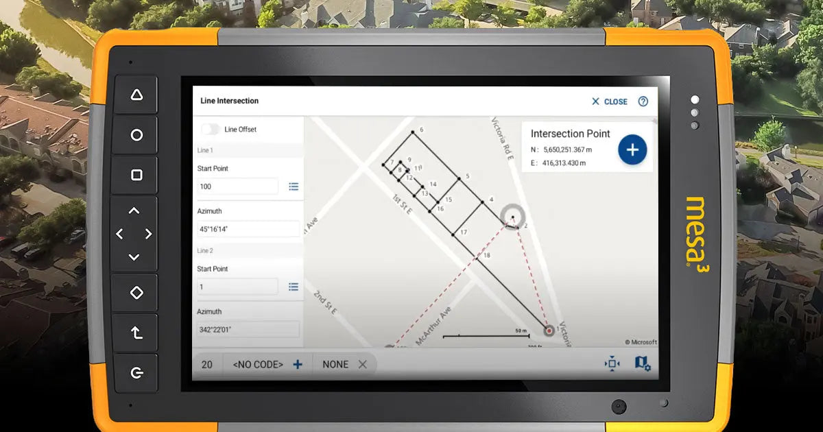
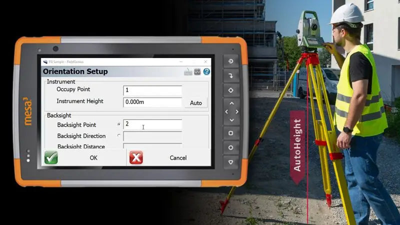
MicroSurvey FieldGenius 3 is the latest evolution in field data collection software, now offering full functionality on both Windows and Android platforms. Designed with a clean, touch-friendly interface, it provides surveyors with a seamless and intuitive experience, minimizing the learning curve and maximizing productivity.
Is your hardware compatible?
Key Features:
- Multiplatform Support: Operate seamlessly on both Windows and Android devices with a single license, ensuring flexibility and consistency across your equipment.
- Surface Generation & Volume Calculations: Create surfaces and compute cut-and-fill volumes directly in the field, enabling immediate decision-making without the need for office processing.
- Enhanced User Interface: Experience a refreshed UI with logical menus and workflows, designed for speed and efficiency in the field.
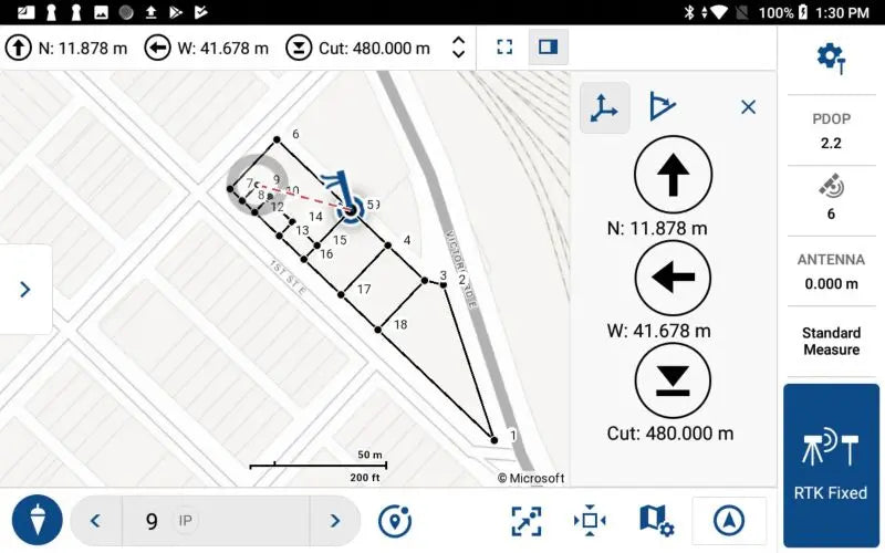
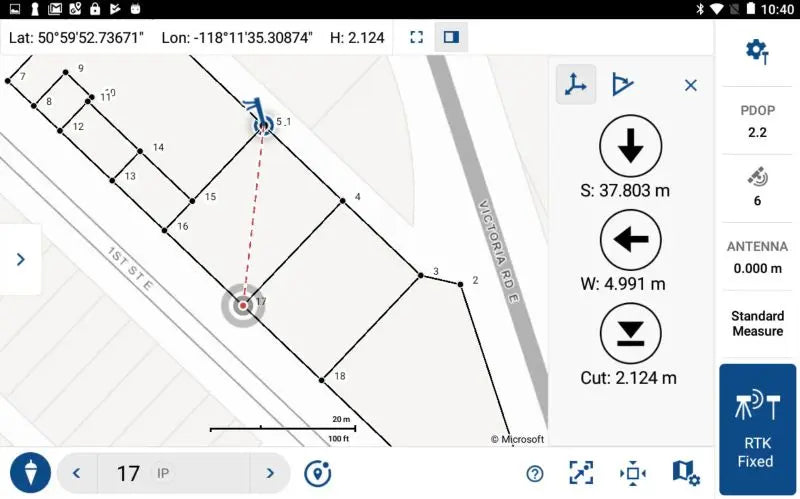
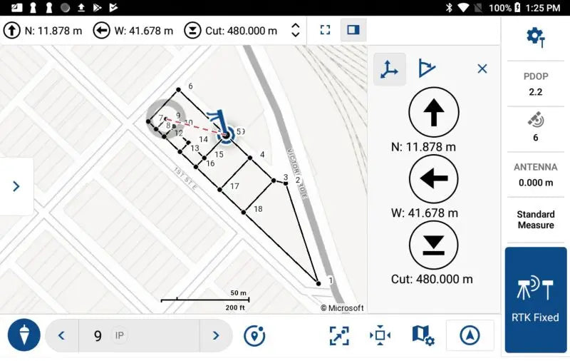
- Real-Time Map-Based Visualization: Visualize points, lines, and surfaces instantly on a dynamic map, providing spatial context and clarity during data collection.
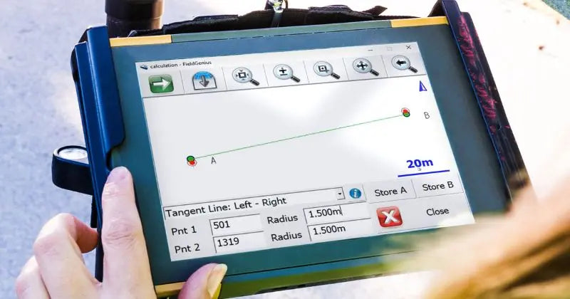
- Advanced COGO Tools: Perform complex calculations such as traverse adjustments, offset intersections, and area computations directly on your device.
- Robust Roading Module: Input and stake alignments with ease, utilizing graphical templates and real-time feedback for accurate road design and layout.
- Comprehensive Staking Functions: Stake points, lines, arcs, alignments, and surfaces with precision, aided by intuitive visuals and text prompts.
- Seamless Data Integration: Import and export data in various formats, including DXF, LandXML, and ASCII, facilitating smooth transitions between field and office.
- Hardware Compatibility: FieldGenius 3 supports a wide range of GNSS receivers and total stations, including models from Leica, Trimble, Topcon, and more, ensuring adaptability to your existing equipment setup.
Pago y seguridad
Métodos de pago
Su información de pago se procesa de forma segura. No almacenamos los datos de su tarjeta de crédito ni tenemos acceso a la información de su tarjeta de crédito.
